Platform Products Aurora™ askAurora™ Aurora:GeoStudio® Capabilities Use Cases Governance C3.ai Request Access

Use Case · Property & Smart Communities

Property intelligence beyond the door.

Traditional video shows what happened — not who is connected to it. Aurora™ gives smart-community and property operators a predictive macro-spatial layer: who cases a perimeter before an incident, and which recurring presence doesn't belong.

Sector: Property & Smart Communities Capability: Aurora API Suite Classification: Unclassified / Illustrative
The Challenge

Cameras record the event. They don't explain it.

A modern community runs powerful systems — access control, smart sensors, managed connectivity. But hardware-only security has a hard limit: video and a video management system capture what happened inside the property, after the fact. They can't reveal who repeatedly cased the perimeter beforehand, which devices recur during incidents, or how an event connects to a wider pattern.
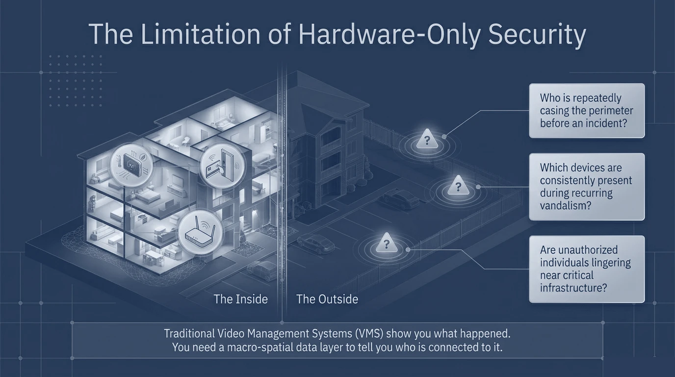
An isometric building cutaway illustrating the limits of hardware-only security: cameras and sensors see inside the property but not the surrounding context.
The limitation of hardware-only security. On-site cameras and sensors record the incident — but not the recurring outside presence that preceded it.
The Approach

A three-part API suite: the net, the filter, the anchor.

Aurora adds a macro-spatial intelligence layer through three composable APIs. GeoCapture™ — the net — collects raw device presence in a defined area of interest. GeoCanvass® — the filter — delivers near-instant digital canvasses ranking which devices were present during an incident. GeoRunDown® — the anchor — resolves the top recurring bed-down or dwell location of an anonymized device.
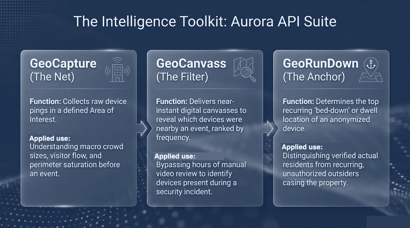
Three capability cards — GeoCapture (the net), GeoCanvass (the filter), and GeoRunDown (the anchor) — each with a function and applied use.
The intelligence toolkit. Capture presence, filter to the devices that matter, and anchor recurring presence to a likely origin — without hours of manual video review.
The Outcome

A portfolio-wide command center.

For enterprise property managers overseeing multi-state portfolios, Aurora:GeoStudio® provides a turnkey visual command center — no code required. Teams track activity density and demographic overlays, identify cross-property behavioral trends and emerging security hotspots, and replay historical device movement to distinguish verified residents from recurring, unauthorized presence.
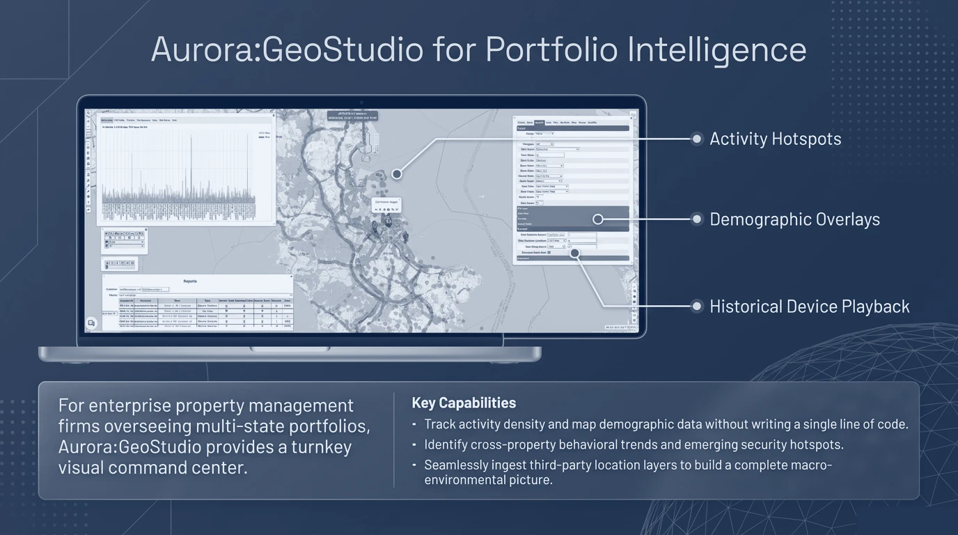
Aurora:GeoStudio portfolio interface on a laptop showing a regional map with activity hotspots, demographic overlays, and a historical device playback panel.
Portfolio intelligence. Activity hotspots, demographic overlays, and historical device playback across a multi-property portfolio — in one visual command center.
Predictive
Pattern-of-life before an incident, not just after
Portfolio
Cross-property trends in one command center
No-code
Turnkey for property-management teams

Powerful intelligence, uncompromised privacy.

The capability is built privacy-first: anonymized by default, designed for global compliance frameworks, and bounded by spatial limits. Lead generation gives management lawful, data-backed grounds to act — distinguishing verified residents from recurring unauthorized presence without compromising individual privacy.
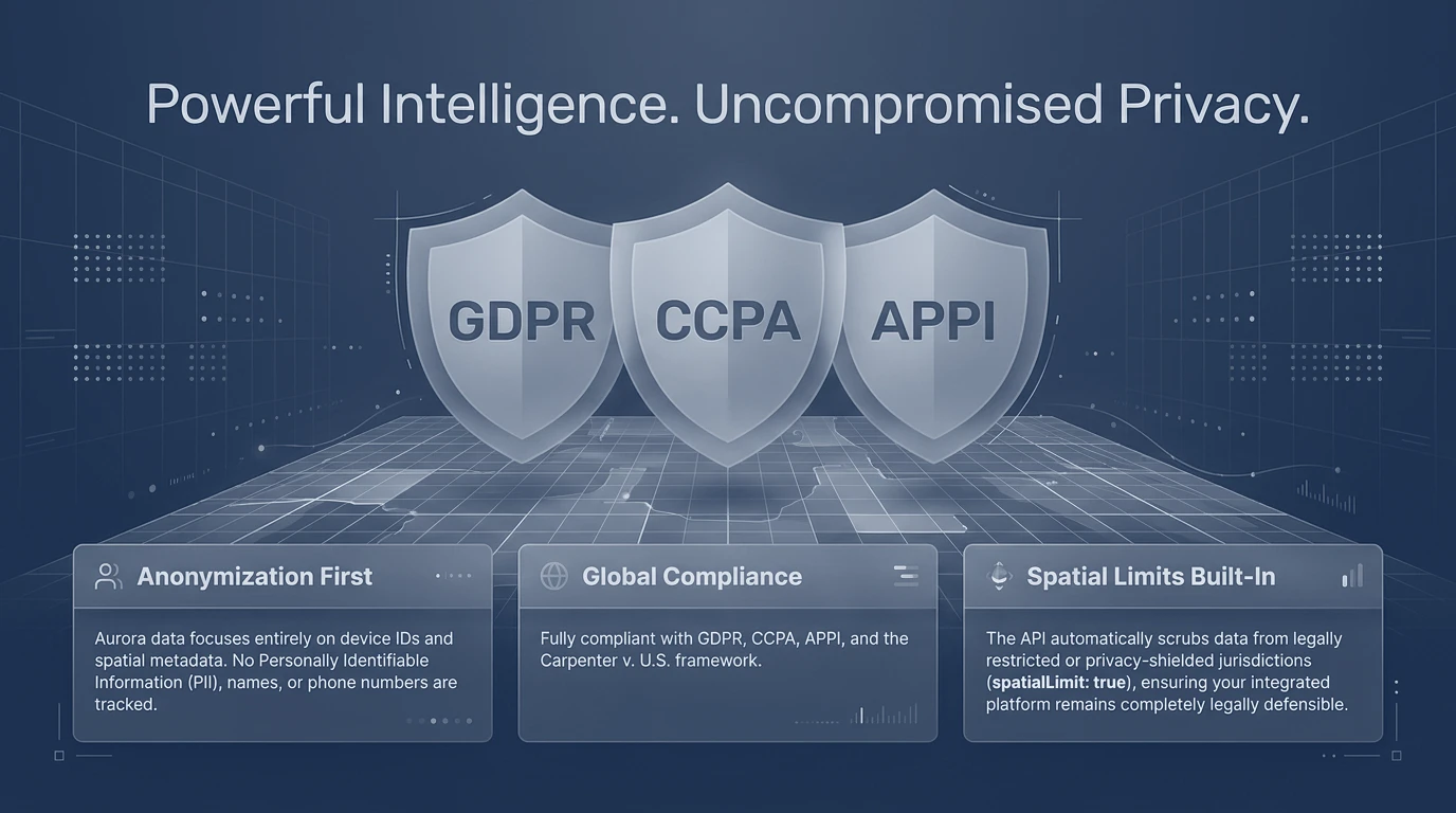
Three shields representing GDPR, CCPA and APPI compliance, with pillars for anonymization, global compliance, and built-in spatial limits.
Privacy by design. Anonymization-first, aligned to major global compliance frameworks, with spatial limits built in.
Note on sourcing. This case study is drawn from a partner engagement with a smart-community and property-technology provider. Customer and partner identities have been removed and generalized; figures are illustrative of the analytical method. Reproduced visuals have had partner names redacted.

See beyond the door.

Aurora™ is available to authorized property, community, and security organizations. Access begins with a defined mission problem.